Table of contents Map & resources
Other adventures
Click on any photo to enlarge it.
Sept. 4-16,
2012
.
427 miles
| OREGON bike
trip 2012 Table of contents Map & resources Other adventures Click on any photo to enlarge it. |
LYNNE & RICK Sept. 4-16, 2012 . 427 miles |
|
We biked about 10 miles north out of
Portland
and crossed the Sauvie Island Bridge.  Many other cyclists were coming and going from the island parking lot just over the bridge. 
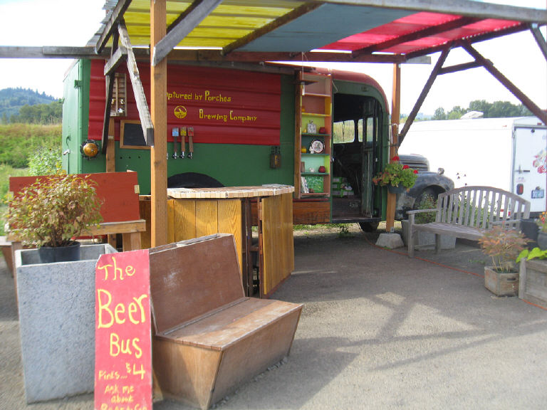 It was too early in the day for the Beer Bus. 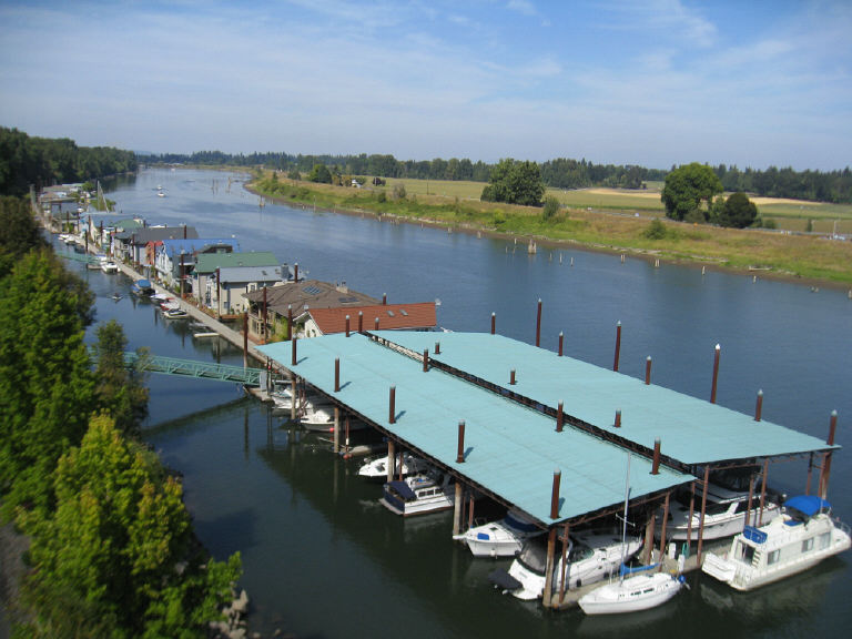 Multnomah Channel, seen from Sauvie Island bridge
|
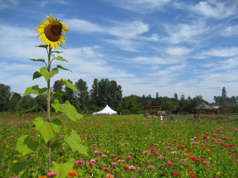
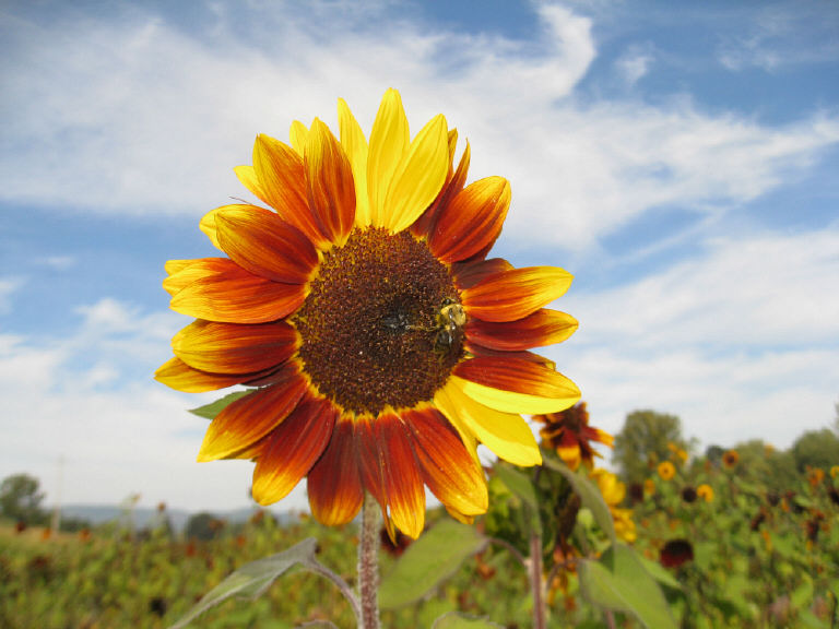
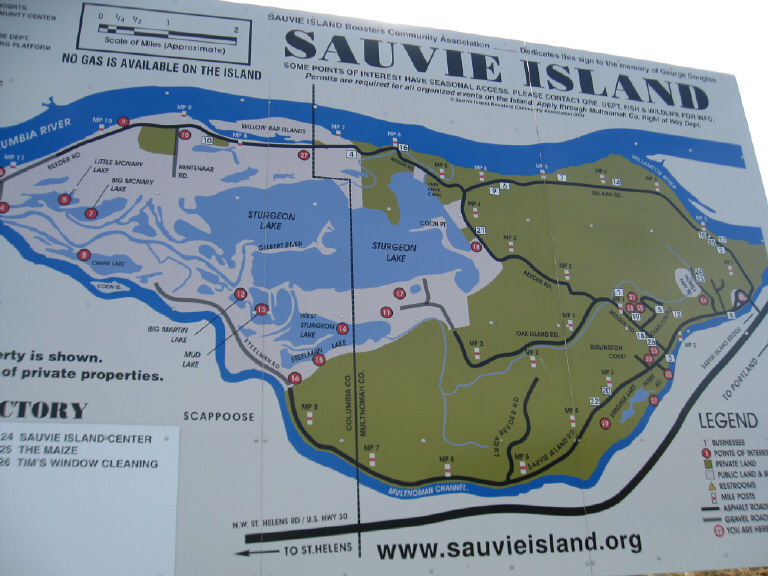 Sauvie Island is mostly farmland. We biked along the Multnomah Channel of the Willamette River, then came back and rode a loop that took us toward the Columbia River.  Sauvie Islanders claim their island, at about 15 miles long and 4 miles wide, is roughly the same size and shape as Manhattan. Fact check: It depends what you mean by "roughly." Manhattan is 33.77 square miles or 21,612 acres, and 68 percent of that is land, the rest water. It's 13.4 miles long and 2.3 miles wide at its widest. Sauvie Island's land area alone is 32.75 square miles or 20,960 acres. I couldn't find a figure for the water area, but Sturgeon Lake alone is approximately 3,000 acres. In any case, about half of Sauvie Island is a state wildlife area.  The year-round population in the 2000 census was 1,078. Residences include about 60 houseboats. 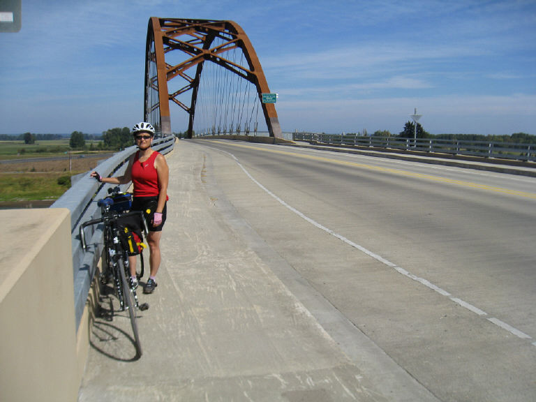 Heading back to the mainland 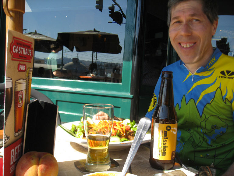 Rick likes Widmer Brothers' Omission beer -- it's gluten-free! |
| OREGON bike
trip 2012 Table of contents Map & resources Other adventures Click on any photo to enlarge it. |
LYNNE & RICK Sept. 4-16, 2012 . 427 miles |